Map editor
Through the TranzAI Map editor, users can build maps to analyze spatial data and more easily identify spatiotemporal patterns.
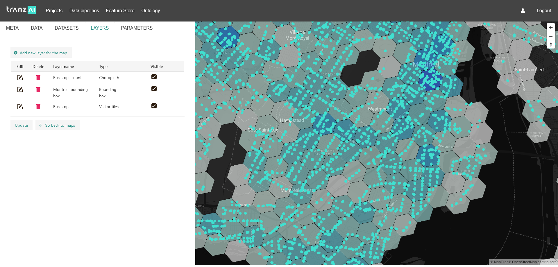
Map layers
Maps are built from a composition of layers. Each layer can be independently managed and is bound to a data series. Based on the type of data to be displayed (geometries, numerical aggregates...), you can choose the type of representation that best suits your analytical requirements.
Queries for map visualization
All data of the feature store associated with a spatial entity can be analyzed with the TranzAI Map manager. Data series can be extracted as a series of geometries or as a series of numerical KPIs associated to a geometry.
Map styling
Each layer can be styled to facilitate the analysis of the map built from the composition of layers. Styling can be applied to geometries (lines, shapes, points), legends and base layers.
Vector tiles generator
The TranzAI platform provides the capacity to create custom vector tiles based on the data consolidated in the feature store. You can mix raster tiles with vector tiles and get the most out of both formats.